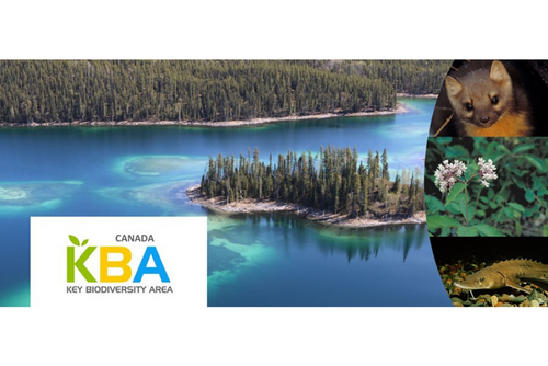
Do you still have questions about what a KBA represents? The process of KBA identification provides insight into how you can interpret what a KBA is:
The first thing is to know what elements of biodiversity can qualify a site as a KBA. These include threatened and geographically restricted species and ecosystems, as well as places where species aggregate in large numbers, or that have high ecological integrity (see here for details). The catch is that each of these biodiversity elements has to be present at a site in sufficient quantities to “trigger” the KBA. For example, a site has to hold 10% of the global population of a geographically restricted but non-threatened species to be a KBA. Threatened species will have a lower threshold, depending on the threat level. Sites can be tiny or large, as long as the threshold is met.
The KBA identification process involves a set of steps leading to a calculation to see if the quantitative thresholds are met. For a given species, ecosystem or site, research is undertaken to determine whether there is sufficient data and information to even begin an assessment. Reports, expert knowledge and spatial data (e.g. observations) are then used to determine if any sites exist that might hold the required percentage of a species population or of an ecosystem’s extent. This initial scoping work is then presented to taxonomic and ecosystem experts, who interpret the data and contribute additional knowledge. Experts help to delineate a site around the biodiversity elements, making sure that the delineated site meets the quantitative thresholds. The result is then proposed as a KBA and reviewed by external experts. We also send information on the proposed KBA to governments, rights holders, and stakeholders, who may be able to provide more information about threats to the site, as well as ongoing and needed conservation actions there. Let us know if you have questions about any of this.
As always, please get in touch if you have questions or if you are interested in identifying Key Biodiversity Areas in your region.
Ciara Raudsepp-Hearne
Canada Key Biodiversity Areas Coordinator / Coordonnatrice Zones Clés pour la Biodiversité